
O'Fallon Neighbors Block-Lookup Sources
Public records can describe the physical block around an O'Fallon address, but each source has a narrow purpose. The county GIS map shows parcel shapes, roads, and nearby lots. The Assessor then supplies assessment and owner fields for an individual parcel. Recorded instruments add a transfer history. Civic programs offer a voluntary way to meet people who choose to take part. None of those records creates a master neighborhood roster or proves every person who may be present at an address.
| Source | What it shows about the block | Access |
|---|---|---|
| St. Charles County GIS | Parcel shapes, roads, touching lots, and public map layers | Public map; reference mapping, not a legal survey |
| County Assessor | Assessment fields plus owner mailing and situs information per parcel | Portal or counter; not proof of title or occupancy |
| Recorder of Deeds | Recorded transfer and legal-description trail | Tapestry, Laredo, research room, or copy process |
| Statutory voter file | Defined public voter fields for a requested election, precinct, ward, or district scope | Election Authority request; not a public web block roster |
| Neighborhood Watch | Voluntary block-level program and police liaison | Registration and outreach; no public member list |
Use the table as a record map, not a people list. An owner mailing address may be outside O'Fallon, while a situs address identifies the land itself. An owner name may be historic or linked to a trust, organization, or estate. A map click is therefore only the first step toward a carefully dated property-record question.
Map O'Fallon Neighbor Parcels
Open the county GIS viewer and locate the target address or parcel. Select or identify the target, preserve its parcel ID and legal description, then pan at parcel scale. Click the lots that actually touch it or are nearby. Road centerlines and plat boundaries matter: a parcel across a road or alley is not necessarily an adjacent lot. The text-only GIS source did not verify a live radius, buffer, or adjacent-select control, so no particular radius setting should be assumed.
The basic O'Fallon neighbors flow is: address → target parcel → parcel ID and legal description → touching parcel IDs → Assessor record for each parcel → Recorder confirmation of a dated instrument. Record the map date beside every parcel number. The City of O'Fallon engineering map and county map are reference tools, and public layers can omit security-sensitive information. Field verification may be needed for a boundary question.
For a full named-street record chain, use the O'Fallon Street Directory. A block lookup should stay close to the target parcel and avoid treating map geometry as proof that people are neighbors.
O'Fallon Neighbor Records Are Not Households
A property record is a land and assessment record. It may show an assessed owner, a situs address, an owner mailing address, value information, and parcel characteristics. It does not identify every non-owner occupant, household member, child, visitor, utility customer, or delivery recipient. The Recorder's grantor and grantee names identify parties to a recorded instrument, not a present block roster. Keep those limits in the result notes for every parcel.
Property sources also need different labels. The Assessor uses assessment data and can explain its own fields, but it cannot supply legal title advice. The Recorder's recorded instrument is the transfer-document trail. The Collector's tax account is a billing trail. Reading all three together helps distinguish parcel identity, a legal recording, and a tax-year context without converting any one result into a claim about occupancy.
Note: Keep mailing, situs, legal-description, and parcel fields separate so an owner mailing label does not replace the address under review.
O'Fallon Neighbor Voter View
Missouri's individual voter lookup requires the exact registered first name, last name, date of birth, last four digits of the Social Security number, and county. It is not a map or a neighborhood-browse feature. Missouri Revised Statutes §115.157 defines fields that may be released through public media or printouts, including name, year of birth, address components, precinct, ward, district, and party affiliation. Ballot choices are not public through this record.
A lawful request for voter media or a printout goes through the St. Charles County Election Authority. The county directs the requester to identify who is asking, whether the scope is countywide or a named political subdivision, and an email for delivery. Missouri law bars commercial use of voter lists, and protected addresses can be closed. The state does not require voter information to be posted as a public online block list.
Connect O'Fallon Neighbors Through Neighborhood Watch
O'Fallon Police Neighborhood Watch is the city's official block-level contact layer. A group around a block, subdivision, apartment area, or park may start a watch by talking with neighbors, submitting a registration to Officer Scott Young, reviewing the program materials, holding an initial meeting, and choosing volunteers. The program offers a police liaison and safety education. It does not publish a member directory or certify who lives nearby.
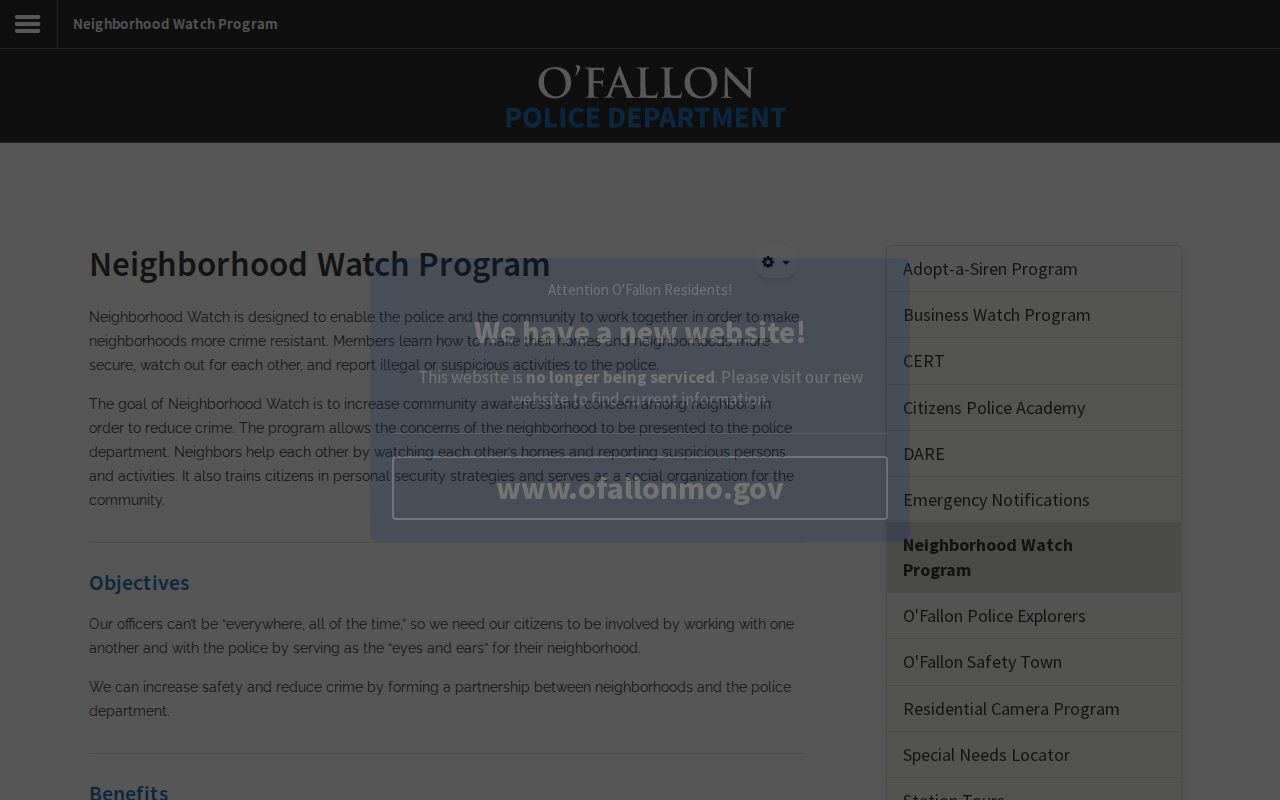
The city page gives the proper voluntary contact route, which is more useful than inferring membership from a map or an address. These contacts can support an introduction, a meeting, or a local safety conversation without turning public records into a directory of private households.
| O'Fallon Police Neighborhood Watch | Officer Scott Young, syoung@ofallonmo.gov, 636-379-5711. Registration, materials, initial meeting, volunteers, and police liaison. |
|---|---|
| Police non-emergency | 636-240-3200 for the appropriate city police contact route. |
| Community programs | Neighborhood Watch, National Night Out, Business Watch, CERT, and Citizen Police Academy are voluntary civic contact layers. |
O'Fallon Neighbor Association Contacts
No city-maintained, comprehensive roster of O'Fallon HOAs, subdivision associations, block clubs, congregations, or members was located in the official research. That gap matters. A voluntary organization may publish a contact path, but its private communications and member information do not become a general resident roll. Use a published association contact rather than trying to assemble personal addresses from neighborhood hints.
The verified Villages at Springhurst HOA site is a representative private-community contact source. It identifies itself as the official site for current homeowners and directs management questions to Community Property Management. Its materials are community communications, not a citywide public directory. Historic civic and church records may be available through the St. Charles County Historical Society, but membership rosters are not presumed public.
O'Fallon Neighbor Address Context
Address-keyed city records can explain activity near a parcel without naming everyone who lives there. CitizenServe covers projects such as construction, additions, repairs, decks, pools, basement finishes, HVAC, demolition, grading, driveways, signs, and inspections. A permit applicant or contractor is connected to a project, not necessarily an occupant. Account access and closed-file rules can mean that an index hit still needs a City Building, City Clerk, or Sunshine request for the underlying record.
O'Fallon Code Enforcement accepts online complaint submissions and handles categories that can lead to Municipal Court. The page is useful for the proper city process and public development context. It is not a neighbor list, and a complainant should never be inferred from an address or a case status.
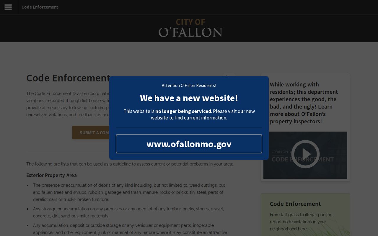
The official screen reinforces that code records are tied to a complaint or property process. Ask the city for a specific disclosable record and preserve the case or address reference, rather than drawing conclusions from an online summary.
Compare O'Fallon Neighbor Sources
Official records and commercial neighbor tools answer different questions. A county map and Recorder file identify their own source, date, and legal scope. Commercial data-broker compilations can combine public extracts with marketing or observed data, merge people who share a name, and retain old property or address information. A commercial category result may be a lead, but it is not a substitute for parcel adjacency, Recorder confirmation, or voluntary neighbor contact.
| Official route | Commercial category |
|---|---|
| Shows a named custodian, record purpose, source date, and stated access limits. | May combine data from many sources with unclear timing or match logic. |
| Lets the researcher confirm a parcel, recorded instrument, or statutory voter request directly. | Can mismerge same-name people or repeat a former address without context. |
| Supports a correction question to the office that maintains the record. | Usually requires a separate privacy or opt-out process and cannot amend the underlying record. |
Start with the office that created the fact. The Assessor, Recorder, Election Authority, city department, or voluntary organization can explain its own material. That approach also makes it easier to stop when the public trail ends.
Privacy Limits for O'Fallon Neighbors
Missouri's record-specific limits protect information that a map cannot answer. Non-owner occupants, household members, children, utility customers, delivery information, closed court material, and restricted vital records remain outside the ordinary public block trail. Missouri Safe at Home, §§589.660 through 589.683, provides a substitute address for qualifying participants in new government and court records and mail forwarding. Safe at Home voter registration uses a voter code so the local authority does not receive the confidential address.
Parcel adjacency does not establish physical presence. A protected or absent result also does not prove that someone is not present. If a property record, voter file, city record, or map appears inaccurate, contact the custodian that maintains it and provide the parcel, case, or document reference. Missouri Sunshine Law requests under Chapter 610 apply only to disclosable records, and the custodian may segregate closed information.
Lawful use. Use O'Fallon neighbor information for personal, lawful research and respectful community contact. Do not use parcel, record, or civic-program information to stalk, harass, intimidate, or harm any person.