
O'Fallon Delivery Areas
Three current delivery ZIPs serve O'Fallon. The observed descriptions below are postal geography, not claims about municipal limits. A complete address still needs confirmation with USPS, especially near an annexation, a county service boundary, or an older record with a different last line. The postal table is a local delivery reference, not a substitute for county parcel data.
| ZIP | Areas covered or observed use | Post office | Research note |
|---|---|---|---|
| 63366 | Central and northern O'Fallon delivery area; City Hall uses this ZIP | O'Fallon Main Office | Some deliveries moved to 63367 and 63368 in 2005 |
| 63367 | O'Fallon delivery area created or expanded from 63366 | O'Fallon Main Office | USPS uses the O FALLON, MO last line; ZIP does not set the city boundary |
| 63368 | Western, southern, and newer O'Fallon delivery area; library and WingHaven examples use it | O'Fallon Main Office | Created from 63366 and expanded from former 63304 deliveries |
| 63304 | Historical St. Charles adjacency for some deliveries later moved to 63368 | St. Charles Main Office | Not part of the current O'Fallon delivery table, but relevant to old records |
63304 is included as a historical comparison, not as a present O'Fallon ZIP. National lists can understate current local delivery geography because Missouri’s ZIP-by-city extract lists 63366 and 63367, while the USPS Postal Bulletin separately documents the 63368 realignment.
O'Fallon's 2005 Postal Shift
USPS made the key local delivery change effective July 1, 2005. Its Postal Bulletin says 840 deliveries formerly in 63366 were realigned to 63367. It also established a new 63368 delivery area from 63366 and established or expanded 63368 with deliveries formerly served through 63304. This is the geography detail most likely to explain why an older O'Fallon mailing line differs from a current one.
Keep the original ZIP shown on a directory, deed, permit, or census-era note. Add the later delivery change as a research note rather than overwriting the historic label. Postal change does not alter the legal description recorded with a deed, and it does not itself prove when a parcel entered the city. The city’s expansion from its early compact footprint to a larger modern area makes that distinction especially useful.
Note: A pre-2005 O'Fallon address may need searches under 63304, 63366, 63367, and 63368 depending on its record date.
Search an O'Fallon ZIP
Finding records within one postal area starts with address verification, then uses the ZIP only where a keeper supports it. The assessor accepts a ZIP search, but voter and Recorder tools have different keys. This prevents a ZIP search from turning into an unsupported claim that a public portal can list everyone in a delivery area.
- Enter the complete street address in the official USPS lookup and record the returned delivery city and ZIP.
- Use the ZIP with city or street in the County Assessor property database, then open the parcel result and preserve its situs, mailing address, parcel ID, and legal description separately.
- Check the county GIS map and O'Fallon city-limit map for jurisdiction and public map context. A postal result does not decide a city-limit question.
- If a voter question is relevant, use the Missouri portal only with the exact required person data. For a statutory file request, ask the St. Charles County Election Authority about its permitted scope and delivery process rather than expecting ZIP-wide online browsing.
- Use the Recorder only after converting an address to an owner name, legal description, lot/block, subdivision, date, or instrument key. The official Tapestry field list has no ZIP field.
Once a ZIP search identifies a particular road and parcel, the O'Fallon Street Directory gives the fuller address-by-address sequence. The ZIP is a narrowing tool; the parcel and legal description carry the record trail forward.
O'Fallon Parcel ZIP Fields
The St. Charles County Assessor property search is the documented local portal that includes a ZIP field. Research captured the field inventory from county descriptions because the live form was Cloudflare-challenged. The table does not infer unverified filters or result counts. Use the ZIP together with another verified field when a broad search returns similar parcels.
| Field | Type | Use in a ZIP search | Known note |
|---|---|---|---|
| ZIP | Text | Narrows an assessor property search | Whether ZIP+4 is accepted was not verified |
| City | Text or dropdown | Combine with ZIP for O'Fallon results | Postal city or boundary city may differ |
| Street | Text | Narrows to an address or street | Optional field |
| Parcel ID or Account | Text | Opens a specific assessment record | County identifier, not a postal identifier |
| Property Type | Dropdown | Separates described categories | Complete live choices were not exposed |
| Owner Name | Text | Reported county property-search option | Owner is not proof of occupancy |
The parcel screen can connect an assessment owner, mailing address, situs, property characteristics, and legal description. It is assessment information, not title verification. If the online search is unavailable, the Assessor counter at 201 N. Second Street in St. Charles, 636-949-7425, can explain assessment fields. For title history, use the Recorder and recorded instrument rather than relying on the assessor’s sales inputs.
O'Fallon Delivery Limit Checks
A ZIP is a delivery construct, not a city polygon. O'Fallon’s City Limits map and the county GIS show different jurisdictional context than USPS. City limits, county jurisdiction, tax districts, school, fire, ambulance, sewer, water, and postal-city labels may all differ at the same address. Use the city map and county parcel source for the particular jurisdiction being checked, then retain the USPS result as delivery verification.
The 2025 annexation of land at 1065 East Highway N is a local example of why a postal label cannot settle city status. The ordinance describes land formerly in unincorporated St. Charles County. A parcel may therefore have an O'Fallon mailing line before or after a different civic status, and its deed legal description may remain the same through that change.
Delivery check. Confirm the complete address with USPS, then compare it with the city-limit map and county parcel record before treating an O'Fallon mailing line as municipal proof.
O'Fallon Postal Terms
Postal and land-record terms belong in separate columns in a careful address notebook. The terms below describe delivery routing, not O'Fallon boundary status. No O'Fallon-specific PO-box-only or unique institutional ZIP was verified in the research, so none is claimed here.
- ZIP and ZIP+4
- A ZIP identifies a broader delivery area. ZIP+4 adds a more specific delivery segment to a complete mailing address.
- PO-box ZIP
- A postal code used for post-office boxes rather than a claim about the physical location of a parcel.
- Unique ZIP
- A ZIP assigned to a single institution or organization. It should not be assumed without USPS confirmation.
- Carrier route
- A mail-delivery sequence used by the Postal Service. It is not a city boundary, parcel boundary, or resident list.
A parcel ID is an assessment and GIS key. A legal description is the Recorder’s land-description key. Neither is replaced by a ZIP, even when all three appear near the same street address.
O'Fallon Address Keys Compared
One delivery address can produce several valid but noninterchangeable records. USPS works from a delivery address and postal code. The Assessor distinguishes situs from an owner mailing address. The Recorder preserves a legal description, book and page, or instrument number. Voter records use street components, ZIP, precinct, and statutory fields, while historic directories may use a house, street, and post-office label. Keep each value as the source gave it.
City permits and code records are usually tied to a project or complaint address. A permit applicant, contractor, or complainant may be connected to a project without being an occupant. City service maps can identify public sewer, water, emergency, or other service context, but customer names are not public. This is why a parcel check should come before any conclusion about people at an address.
O'Fallon ZIP Record Limits
Missouri’s voter-information lookup does not browse a ZIP. It requires exact first name, last name, date of birth, last four Social Security digits, and county; a later street-name prompt tells users to omit labels such as St, Ln, Rd, and Blvd. A result is an exact registration match or nonmatch, not a household list or a ZIP-wide directory.
Under Missouri law, public voter media or printouts can contain defined fields such as name, year of birth, address, precinct, district, and party affiliation. St. Charles County directs voter-list requests to its Election Authority email route with requester identity, geographic scope, and delivery email. The research did not locate a current fee or file format. Protected voters and Safe at Home participants can have confidential addresses, and a dated voter result is not permanent occupancy evidence.
O'Fallon ZIP Code Verification
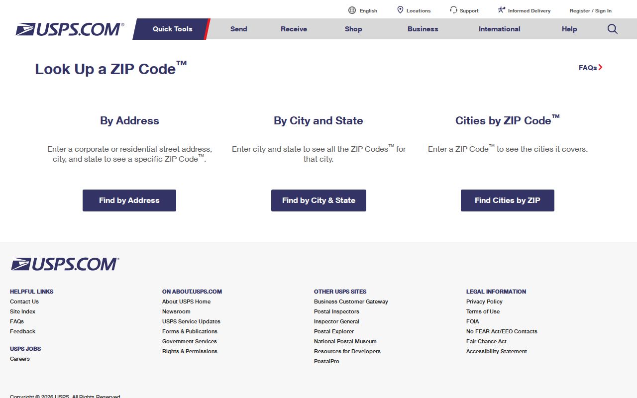
Use the USPS ZIP Code Lookup with the complete street address and use the returned city and ZIP line as the delivery check. The image below shows the official USPS lookup interface for O'Fallon postal verification.
After USPS returns the mailing line, compare the address to the O'Fallon city maps and the county GIS map. If a property record is needed, the Assessor portal and its counter are the assessment channels. If a recorded transfer is needed, move from the parcel’s legal description or owner name to Tapestry or Laredo, then use the Recorder research room or copy center when the online record is insufficient. If the result conflicts with a historic record, preserve the original spelling and postal label. Search O'Fallon, O Fallon, and O FALLON when an official portal may normalize the apostrophe, and check a Belleville or St. Charles heading when older local material uses a different post-office context.