
Walk an O'Fallon Street
Start with one exact O'Fallon address, then move outward only when each source supplies its own key. The St. Charles County Assessor property database is the practical first stop because it connects a situs, or physical parcel, with an account or parcel identifier and assessment owner details. It is not a roster of everyone at the address. County maps and recorded instruments add parcel shape and transfer history, while the election authority and historic repositories offer more limited, date-sensitive person clues.
- Search the assessor record by street, city, ZIP, or parcel identifier. Preserve the situs address, owner mailing address, legal description, and account or parcel ID as separate notes.
- Locate that parcel in the St. Charles County public GIS map. Pan along the road and use parcel and road layers to orient the address among adjoining lots.
- Take the legal description, subdivision, lot and block, or owner name to the Recorder. These are often better deed search keys than the street address itself.
- For a lawful voter-record question, use the state’s individual match tool only with its required exact data, or ask the Election Authority about the statutory request route. It is not a street roster.
- For an older household clue, ask the library, O'Fallon Historical Society, or St. Charles County Historical Society about reverse or criss-cross volumes, newspapers, and indexed originals.
That sequence keeps the records in their proper roles. The parcel establishes the place. The map adds context. The deed can establish a recorded transfer. A historic directory can place a person or business at an address for its own date.
O'Fallon Street Directory Parcel Search
The Assessor uses property data for valuation and taxation. Its public search description supports an O'Fallon street directory search with address and parcel-oriented fields, but the live form was protected by a Cloudflare challenge during research. That matters: the field names below are the county’s documented inventory, not a promise about every current dropdown choice. Use a narrow combination first, then inspect the parcel screen before relying on any displayed attribute.
| Assessor field | Entry type | How it helps | Verified limitation |
|---|---|---|---|
| Street | Text | Find a situs street or address | Optional field |
| City | Text or dropdown | Narrows to O'Fallon | Postal or boundary city can differ |
| ZIP | Text | Further narrows an address search | ZIP+4 acceptance was not verified |
| Parcel ID or Account | Text | Returns a specific county assessment record | Use the identifier shown by the parcel record |
| Property Type | Dropdown | Separates described property categories | Complete live options were not exposed |
| Year Built or Sq Footage | Numeric or range | Helps distinguish similar results | Optional narrowing fields |
| Owner Name | Text | Reported county property-search option | Owner is not proof of occupancy |
At the counter, the Assessor is at 201 N. Second Street in St. Charles and lists 636-949-7425. The county reassesses real estate in odd years. Assessment records can include owner name, mailing and situs addresses, legal description, values, property characteristics, and sales or building inputs, but the county says this information is not legal ownership verification.
O'Fallon GIS Street Context
Use county GIS after finding the parcel, not as a substitute for the parcel card. The public map can locate an address or parcel, show a parcel layer, road and street layers, and public zoning, district, flood, or other context layers. Click or identify a parcel and follow an assessor link when configured. Exact live labels for measure, print, export, radius, or buffer tools were not verified, so no bulk-street or distance function should be assumed.
The City of O'Fallon Engineering GIS information adds city-oriented mapping context. Its notice says public locations are reference-only, field verification may be needed, and security-sensitive information may not be published. City maps also publish city-limit, ward, zoning, emergency-service, sewer, and water context. These layers help explain why two addresses on one road can fall under different services; they do not certify a boundary.
Note: Save the map date with a parcel ID because city limits, public layers, and service boundaries can change after annexation or development.
O'Fallon Address Source Trail
Each address-keyed source answers a different question. Combining them is more reliable than treating a tax name, permit applicant, or voter-related field as proof that someone lives on a street. The table also shows the documented fallback channels when an online screen does not answer the question.
| Address source | What it can show | Documented access |
|---|---|---|
| Assessor parcel card | Assessment owner, mailing and situs addresses, parcel identity, characteristics | Property database, county GIS link, or Assessor counter |
| County and city GIS | Parcel outline, roads, nearby lots, public map context | County public map or city engineering map |
| Recorded deed or plat | Grantor/grantee, instrument, recording date, legal description, lot or block | Tapestry, Laredo, Recorder research room, or copy center |
| Collector record | Tax account, bill, payment or delinquency context | Tax database, Collector counter, or written receipt request |
| Permit or code record | Project or complaint address, type, status, inspection, or court path | CitizenServe, code portal, City Building, City Clerk, or Sunshine request |
| Voter record | Statutory public fields under the election law | Exact-match portal or Election Authority fee/request route |
| Historic address material | Earlier occupant, business, spouse, occupation, obituary, or newspaper clue | Library, O'Fallon Historical Society, SCCHS onsite indexes, or Research Request |
Parcel identifiers and legal descriptions are the safest handoff between county systems. A street name may be normalized differently on a map, and a postal label may be different from the city jurisdiction. Preserve the source date, input spelling, and the exact field that produced a result.
Recorder Deeds by O'Fallon Address
The St. Charles County land-records service offers two remote paths. Tapestry is the occasional-user service and Laredo is the subscription service for frequent searching. Tapestry’s documented choices are Grantor/Grantee, document number, beginning or ending recording date, legal description by subdivision or metes and bounds, and document types. The county warns that not every legal description is indexed. An address may not be a direct deed search field.
Move from an assessor parcel to lot, block, subdivision, metes-and-bounds description, book/page, or an owner name before searching. Laredo’s index begins January 1, 1972, while its document images reach November 16, 1804. An older image can therefore exist without an equally deep online name index. Use the Recorder’s public research room, book/page citations, or the Historical Society’s early deed material when the online name trail stops.
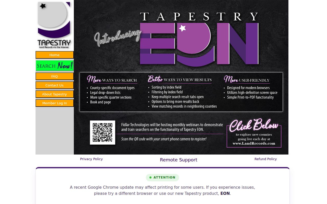
Fidlar Tapestry is the county’s stated entry point for occasional remote deed searches. The image below shows its county-selection search interface.
For an office alternative, the Recorder accepts walk-ins and offers free weekday research-room searching; its research area closes at 4:30 p.m. The Recorder also has a copy center at 636-949-7509. Remote Tapestry searches carry the county’s documented per-search charge, while Laredo uses a subscription model.
O'Fallon Street Permit Clues
Street records can also show work done at a place. The City Building Division’s CitizenServe permit route covers new construction, additions, remodels and repairs, decks, sheds, pools, basement finishes, HVAC work, demolition, grading, driveways, signs, and inspections. A permit helps date a project. It does not establish a sale, ownership change, or every person who occupied the property.
O'Fallon Code Enforcement handles address-based nuisance and violation work through its online complaint process and may lead to Municipal Court. The city says complaints must be submitted online rather than by phone or email. Older or nonpublic permit and code material can require a City Building or City Clerk contact and a written request under Missouri’s Sunshine Law. The city’s public-information portal states a response is due within the third business day unless a lawful delay is explained.
O'Fallon Street Geography Changes
An O'Fallon street can have different postal, city-limit, and county service context over time. The city grew from a railroad and Main Street core, remained roughly 20 blocks square until the early 1970s, and later expanded through subdivisions and infrastructure growth. That history means an old address can carry a post-office label or rural description that does not match a current street, ZIP, or city-limit line.
Postal geography changed as well. Effective July 1, 2005, the USPS realigned deliveries from 63366 into 63367 and created or expanded 63368 from former 63366 and 63304 delivery areas. An annexation can create another mismatch. O'Fallon Ordinance 7177, for example, annexed land at 1065 East Highway N that had been unincorporated St. Charles County. Retain the legal description and dated mailing line rather than rewriting an old record into current geography.
Search O'Fallon, O Fallon, and O FALLON when a county or state system normalizes the apostrophe. Historic material can also sit under Belleville or a neighboring post-office heading. For ZIP-focused verification, use the O'Fallon ZIP Codes reference before narrowing the work to a street.
O'Fallon Street Directory History
Historic directories are an address clue, not a modern list. The verified 1929 O'Fallon excerpt came from a Polk's Belleville directory and includes house and street alongside name and spouse, occupation, and comments. That compact format can connect a former address to a household or business for that year. It cannot identify every resident of a building or settle a current residence question.
Ask O'Fallon library staff for city, telephone, reverse, criss-cross, yearbook, and newspaper holdings because public branch pages do not publish a complete O'Fallon year-by-year shelf list. The O'Fallon Historical Society holds local resident files, photos, documents, and stories. SCCHS holds material from 1800 to today, with online indexes and an email or web Research Request for originals that are not online. The historical collections and their entry format are treated in more detail in the O'Fallon Directory Book.
O'Fallon Street Directory Terms
Address research becomes easier when the record keys are not blended together. A parcel or plat is not the same thing as a postal address, and a reverse directory belongs to a different period and purpose than a property card.
- Parcel
- A county assessment and GIS unit of land, usually tied to an account or parcel identifier.
- Situs address
- The physical address assigned to the parcel. It differs from an owner’s mailing address, which can be elsewhere.
- Plat
- A recorded map that can show a subdivision’s lots, blocks, streets, easements, and dimensions. It is not a substitute for a legal survey.
- Criss-cross directory
- A historical directory arranged from address to occupant or business, useful only for the volume’s stated period.
Recorder searches may use a legal description instead of the modern address. Keep the subdivision, lot, block, or metes-and-bounds wording exactly as it appears in the instrument when moving between an assessor result and a deed search.
O'Fallon Street Directory Boundaries
Missouri’s voter portal verifies one registration only after exact first name, last name, date of birth, last four Social Security digits, and county are supplied. It is not a public by-street browse tool. The St. Charles County Election Authority accepts a voter-list request by email when the requester identifies themselves, states countywide or political-subdivision scope, and provides a delivery email. The current fee and delivery format were not located in official sources.
Public voter material has statutory limits, and protected addresses can be closed. A property owner is also not necessarily an occupant. Non-owner household members, utility customers, private delivery information, and restricted motor-vehicle data are outside the ordinary public address trail. A missing record does not prove a person is absent from an address.
Lawful personal use. Use O'Fallon address records for personal, civic, property, or family-history research. Do not use records to stalk, harass, intimidate, or harm anyone, and do not try to defeat a protected address.
O'Fallon Street Directory Access
When a screen is unavailable or an address search returns too little, use the custodian that keeps the record. The Assessor can explain an assessment field at its St. Charles counter. The Recorder offers a research room, copy center, walk-in service, and land-record access. City permit and code material begins with the appropriate online route, then City Building, City Clerk, or a written Sunshine request for older or nonpublic fields. The Collector is the right office for tax-account and receipt questions, not title verification.
For older names and house history, the referral chain is the local library, O'Fallon Historical Society, SCCHS, and then state archives or federal repositories where the records are statewide or federal. State the street spelling, date range, city or post-office label, and the document type requested. Ask a public custodian to segregate any closed portions rather than assuming an entire file is unavailable.